Global Self-consistent, Hierarchical, High-resolution Shoreline (GSHHS)
GSHHS database v1.10
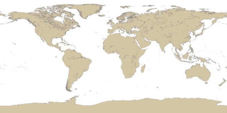
Global Self-consistent, Hierarchical, High-resolution Shoreline (GSHHS) Database v1.10
- Metadata: http://www.ngdc.noaa.gov
- Spatial Resolution: multiple resolutions can be derived
Full resolution 0.04 km
High resolution 0.2 km
Intermediate resolution 1.0 km
Low resolution 5.0 km
Crude resolution 25 km
- Extent: Global
- Temporal Resolution: N/A
- Date Range: updated March 2008
- Format(s): binary, ESRI Shapefile (v 1.3)
- Access
Methods: FTP
- Data Access: http://www.ngdc.noaa.gov/mgg/shorelines/data/gshhs/version1.10/
- CoML visualization guidance: TBD
Use Example
Convert binary dataset (coarse level) to an ESRI shapefile
- Data Download: http://www.ngdc.noaa.gov/mgg/shorelines/data/gshhs/version1.10/
- Data Conversion: These instructions assume local access to ESRI's ArcGIS software - access to ArcGIS via remote desktop is also available. These instruction require the Marine Geospatial Ecology Tools (MGET) for ArcGIS.
Unzip to a /gshhs folder. Contents are 3 binary datasets (*.b), each with 5 possible resolutions. Datasets are gshhs, borders, and rivers; resolutions are full (f), high (h), intermediate (i), low (l), coarse (c)
In ArcGIS toolbox find Marine Geospatial Ecology Tools -> Data Products -> Shorelines -> GSHHS 1.4 Database to ArcGIS Polygons tool
Choose the dataset and resolution (Coarse is file "gshhs_c.b"), choose an output file name and location and run. Converting GSHHS datasets is computationally intensive.
