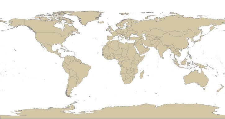
Global Administrative Areas
Global country and administrative boundaries
Global Administrative Areas (version 0.9)
GADM is a database of the location of the world's administrative areas
(boundaries). Administrative areas in this database are countries and
lower level subdivisions such as provinces, departments, bibhag,
bundeslander, daerah istimewa, fivondronana, krong, landsvæðun,
opština, sous-préfecture, counties, and thana. GADM describes where
these administrative areas are (the "spatial features"), and for each
area it provides some attributes, foremost being the name and in some
cases variant names.
- Metadata: http://biogeo.berkeley.edu/gadm/sources.html
- Spatial Resolution: N/A
- Extent: Global
- Temporal Resolution: N/A
- Date Range: 02/2008
- Format(s): ESRI Shapefile, ESRI Geodatabase
- Access
Methods: HTTP
- Data
Access: http://biogeo.berkeley.edu/gadm/
- CoML visualization guidance: TBD
Use Example
Download a zipped shapefile-set and view in ArcGIS
- Data Download: http://biogeo.berkeley.edu/gadm/data/gadm_v0dot9_shp.zip
- Data Conversion: These instructions assume local access to ESRI's ArcGIS software - access to ArcGIS via remote desktop is also available.
